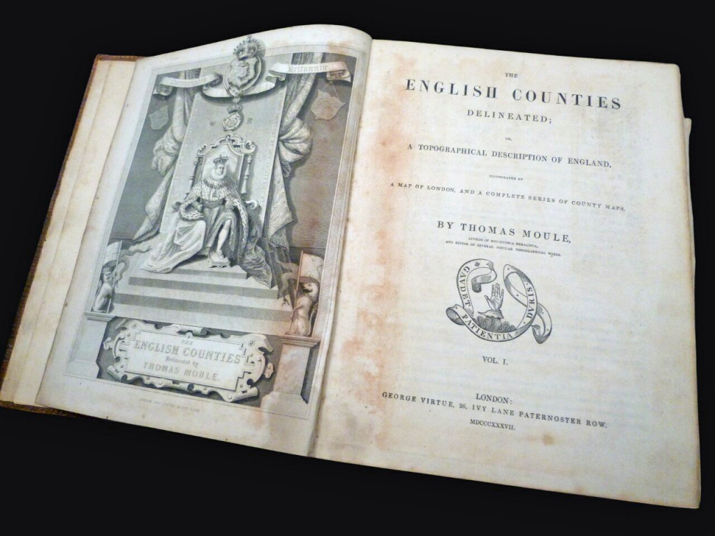
The English Counties Delineated (1837 first edition)
Thomas Moule's topographical guide to the counties in two volumes, with 62 maps and engravings
Author
Publisher
Printing Details
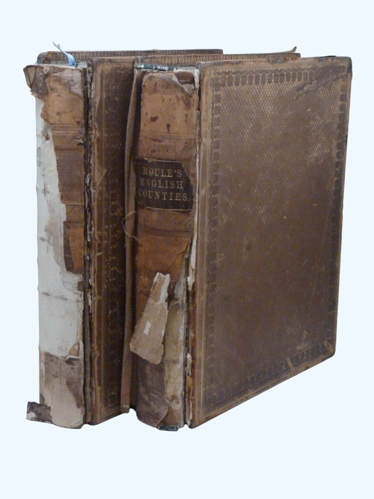
First edition. Two volumes, leather (defective). Each volume 29 × 22cm. Vol 1: xxiv, 484pp [1pp index to London map], vol 2: 582pp. Full collation below.
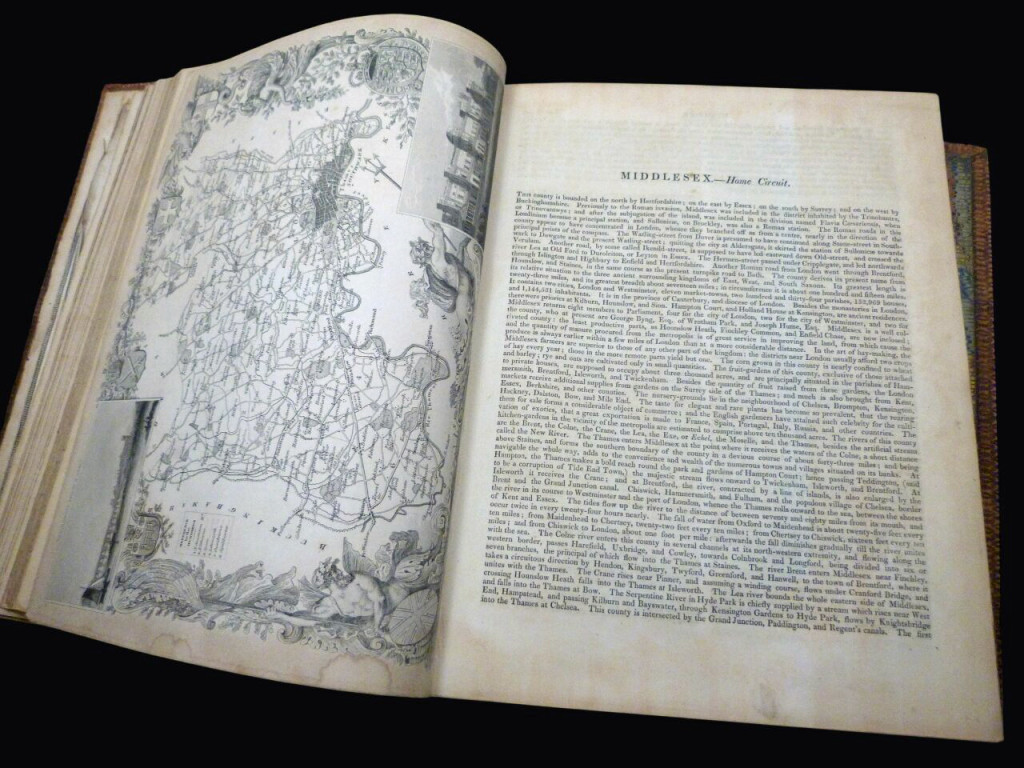
A gazetteer and history of the counties of England which is divided in circuits (the Home Circuit, the Norfolk, the Western, the Oxford, the Midland, and the Northern). The book is best known for its county maps, which are high quality engravings with ornamental borders, local scenes and architectural features of interest.
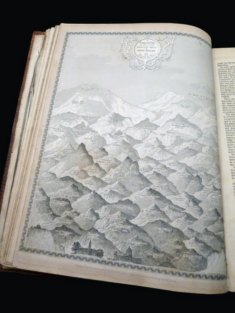
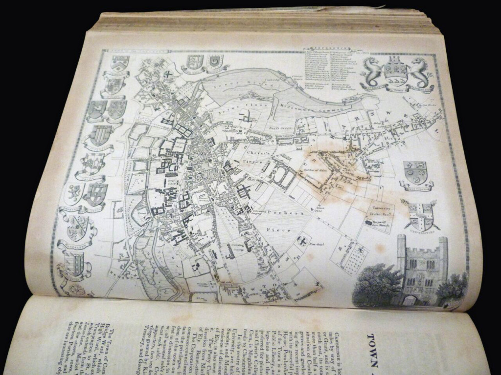
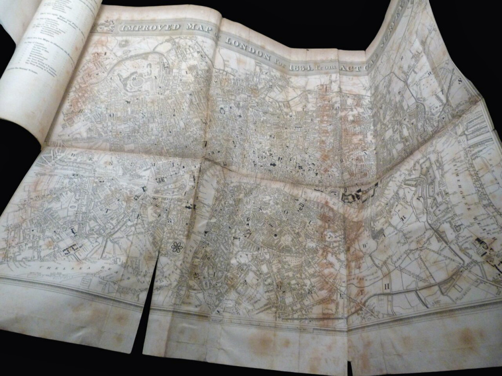
Here is a full collation, and there is some variation from the plate index (noted here). Volume 1: Frontispiece of the King; folding map of London (1834)* the plate index has this later in the book and an overall map of the UK here but the UK map is at the start of vol 2; four single page maps of inland navigation, and "A Comparative View of Some of the Principal Hills in Great Britain", then the county and town maps: Essex, Hertfordshire, Kent, The Isle of Thanet, Middlesex, London Environs, Metropolitan Boroughs (this map is loose and now sits at the start of the book), Surrey, Sussex, Bedfordshire, Buckinghamshire, Cambridgeshire, Cambridge Town and University, Huntingdonshire, Norfolk, Suffolk, Cornwall, Devonshire, Plymouth and Devonport, Dorset, Hampshire, Portsmouth, Isle of Wight, Somersetshire, Bath and Bristol, and Wiltshire. This totals 33 (of 35 listed) but the overall UK map is in Vol 2, and the town plan of Bath is the only one lacking (but this is compensated for by the addition of a county map of Monmouthshire, also in vol 2).
Volume 2: Fold out map of England (with smaller inset of Metropolitan boroughs), Engraved title page (Greenwich Hospital), county and town maps: Berkshire, Gloucestershire, Herefordshire, Monmouthshire (see note above, this isn't listed in the plate index), Oxfordshire, Oxford, Shropshire, Staffordshire, Worcestershire, Derbyshire, Leicestershire, Lincolnshire, Boston (Lincs), Northamptonshire, Nottinghamshire, Rutlandshire, Warwickshire, Cheshire, Cumberland, Isle of Man, Durham, Lancashire, Northumberland, Westmoreland, East Riding of Yorkshire, North Riding of Yorkshire, and West Riding of Yorkshire. This is 29, but should be 27 as per the plate index—noting the addition of Monmouth and the presence of the country map.
Condition
Fair to poor. The leather is in poor condition. Most of the backstrip (the leather spines) has been lost and all boards are detached, rubbed and scuffed. There is old taped reinforcements to hinges. The prelims are quite badly edgeworn and the inner binding for the first few pages of each is weak. The large London map is heavily creased, torn, and foxed with taped repair, the fold-out country map edgeworn but not terrible. The main bodies of text are in better condition, remaining well bound and quite readable. The maps are a little tanned and some with spotted foxing, and a water stain to the lower margin, but with little wear to the edges. The text is complete. The maps are uncoloured.
Further images available on request.
As of July 2026, books remain duty-free. The price of the book incurs no extra US import fees.
Price
£100.00