The New British Traveller; or, a Modern Panorama of England and Wales
1819, volume 1, Bedfordshire to Cumberland, with 8 maps and 10 engraved plates
Author
Publisher
Printing Details
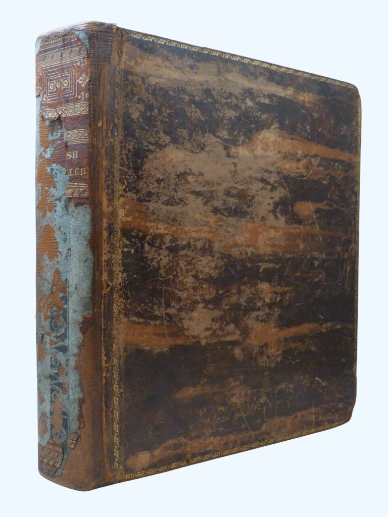
Volume one only (of four). Hardback, original leather boards, spine relaid and lacking most of the original leather. 27 × 21.5cm, liv + 628pp.
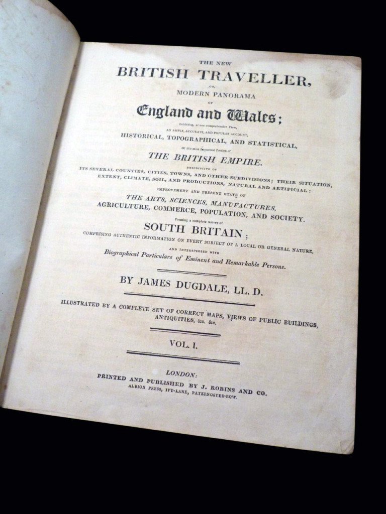
Full title: The New British Traveller; or, a Modern Panorama of England and Wales; exhibiting at one complete View, an Ample, Accurate, and Popular Account, Historical, Topographical, and Statistical, Of this most Important Portion of the British Empire. Descriptive of Its Several Counties, Cities, Towns, and other Subdivisions; Their Situation, Extent, Climate, Soil, and Productions, Natural and Artificial: Improvement and Present State of The Arts, Sciences, Manufactures, Agriculture, Commerce, Population, and Society. Forming a complete Survey of South Britain; Comprising Authentic Information on Every Subject of a Local or General Nature, and Interspersed with Biographical Particulars of Eminent and Remarkable Persons. Volume 1.
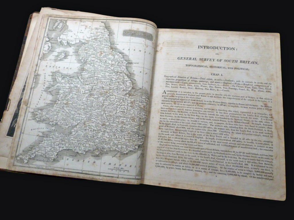
This is the first volume of the 1819 incarnation of Dugdale's New British Traveller, an illustrated county guide, with the introduction bringing the histories and details up to date. This volume covers Bedfordshire to Cumberland. The lengthy introduction is followed by the county histories, and in total is illustrated with frontispiece (Britannia with lion, the Navy, harvest, bees and knowledge etc), and engraved title (as well as printed), a whole map of England and Wales (not fold out), and then 7 county maps and ten engraved plates, details below.
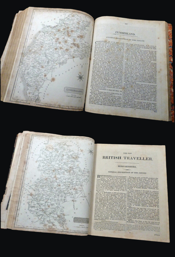
1. Bedfordshire, pp5–55. County map, with one plate showing four scenes (Bear Place, Woburn, Her Majesty's Lodge Frogmore, and Bedford).
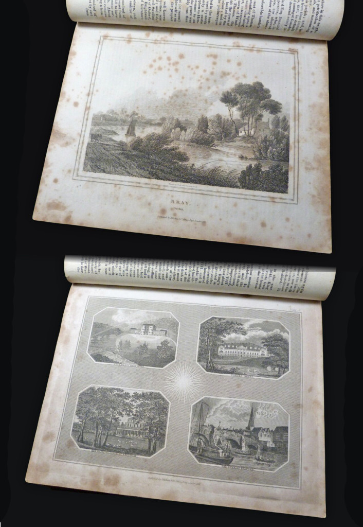
2. Berkshire, pp56–128. County map, three full page plates (Bray, Maidenhead, Windsor from the forest).
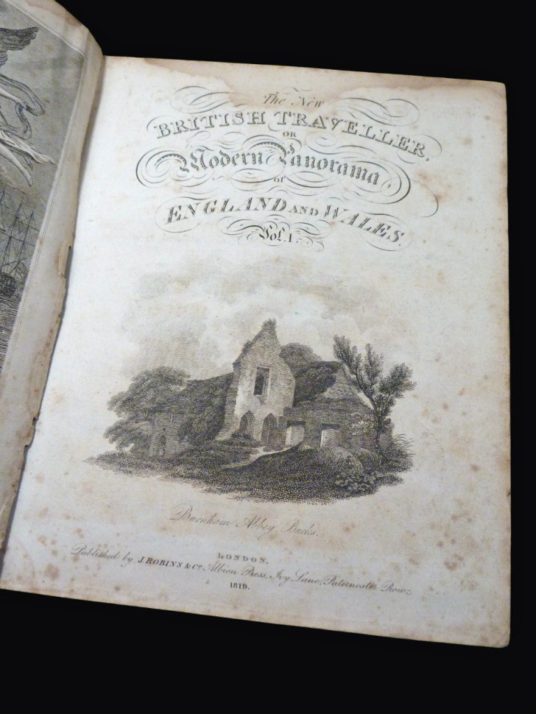
3. Buckinghamshire, pp129–198. County map, four full page plates (Burnham Abbey, Eton College, Great Marlow, Stoke Church).
4. Cambridgeshire, pp199–284. County Map, one plate of four scenes, two of which relate to Cambridge (Highgate Archway, Ramsgate, King's College Chapel, Pembroke Hall).
5. Cheshire, pp285–367. County maps, no plates as issued (see below).
6. Cornwall, pp368–522. County map, one plate of four scenes: two for Cornwall (Truro Church, and St Michael's Mount), one for Cheshire (Stookport), and one for Cumberland (Carlisle).
7. Cumberland, pp523–628. County map, no plates as issued (see above).
The book has been collated with all maps and illustrations present.
Condition
Fair condition. The spine has been rebacked but only a little bit of the original leather has been retained, residue of binder's glue predominant to spine. The boards considerably rubbed and bumped. The hinges have been reinforced with heavy duty tape, the inner binding loosening and strained to the prelims (the frontis nearly detached). The maps and plates comprehensively foxed, some marginal loss to pages but the main body of text in good readable condition. There are the usual age-related marks and tanning to the page edges, endpapers, margins etc. A complete but rather worn copy.
As of July 2026, books remain duty-free. The price of the book incurs no extra US import fees.
Price
£60.00