Lloyd's Maritime Atlas
1951, the first printing with sixteen maps and list of ports etc
Author
Publisher
Printing Details
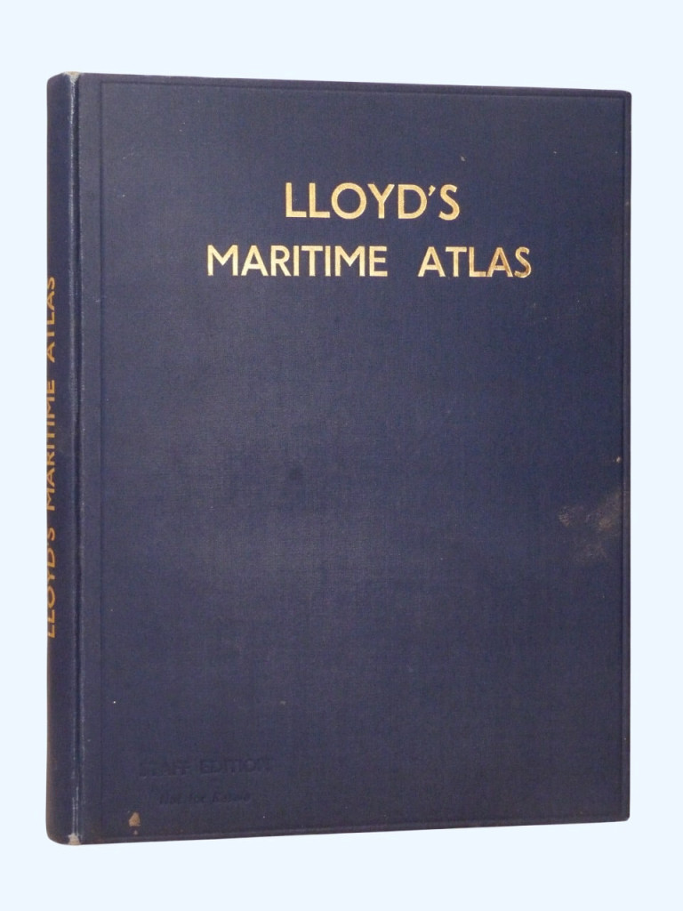
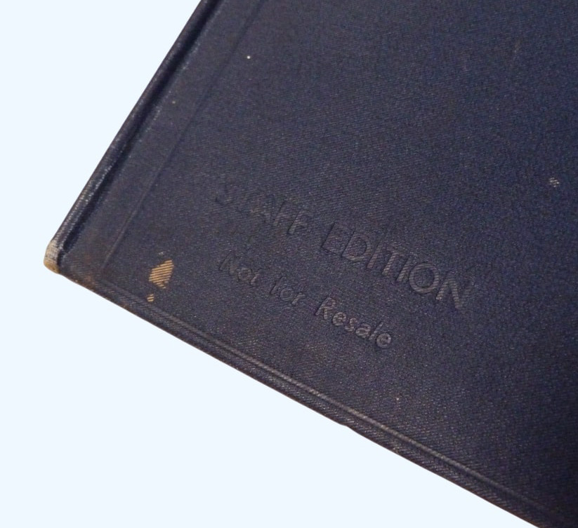
First edition, first printing. Hardback, bound in blue cloth with gilt titling to spine and upper board. This copy with "Staff Edition, Not for Resale" blindstamped to the upper board. 24.5 × 18.5cm, 16 colour maps, 56pp + index
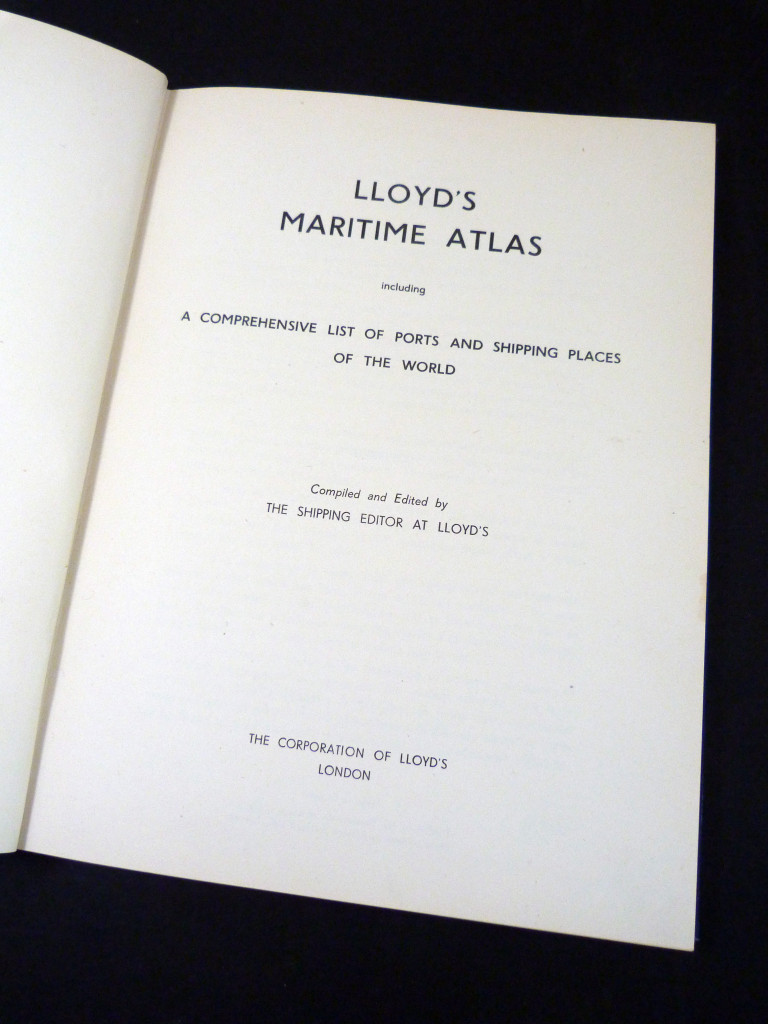
Full title: Lloyd's Maritime Atlas, including a Comprehensive List of Ports and Shipping Places of the World
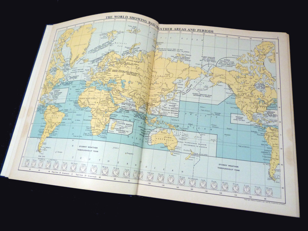
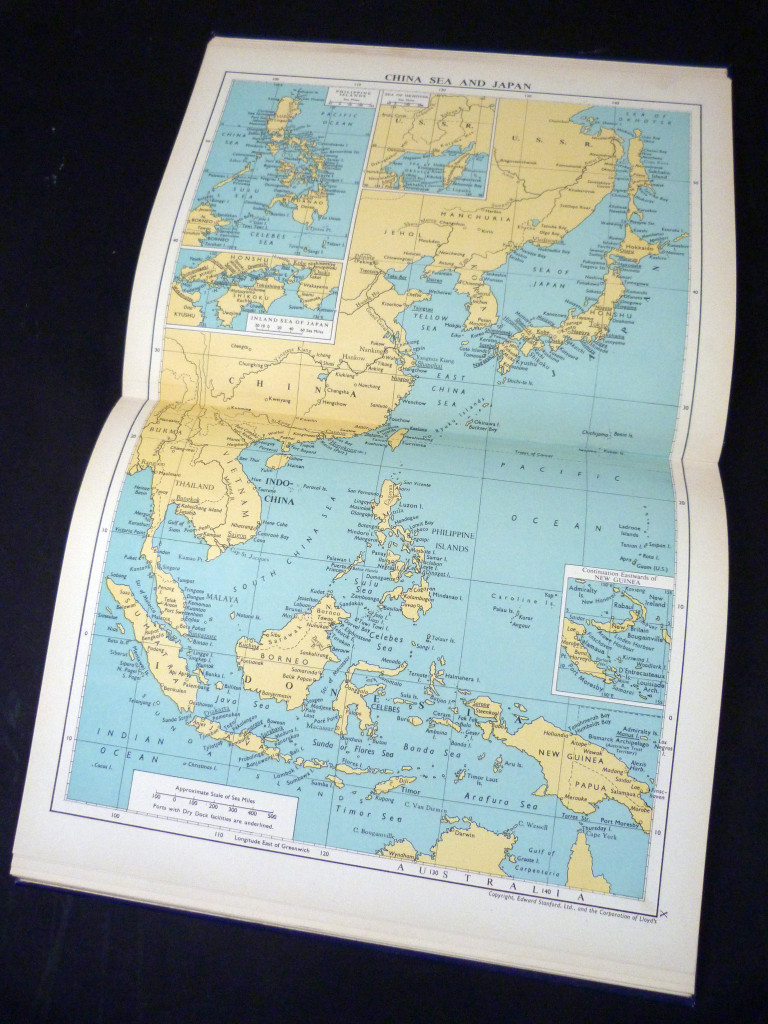
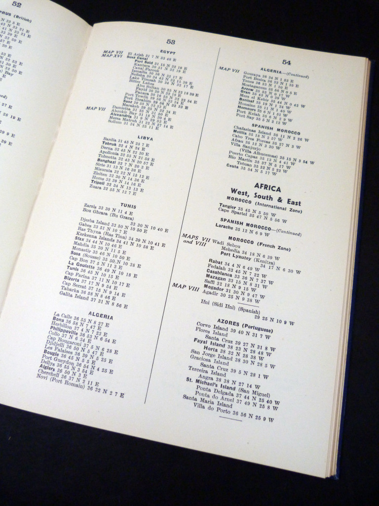
The first printing of Lloyd's Maritime Atlas, considered the oldest and most respected atlas in the shipping industry. The book starts with sixteen maps (full page or double spread), some with smaller inset maps. This is followed by section II, listing the ports and shipping places of the world, in each case giving its nautical position (eg Benbecula 57 25 N 7 23 W), followed by an index.
Condition
The book is in very good condition, there is some marking to the boards, but the contents are in excellent condition.
If you would like any further information or have any queries, please feel free to email at walterbudge@btinternet.com or geoff@coxandbudge.co.uk
Price
£30.00